What Is the Best AI Map Maker for Fantasy and Real-World Maps?
2026-10-06
Which Map-Making Tools Balance Speed, Creative Control, and Geographic Plausibility?
The right map maker depends on one trade-off: fast generation from a description, or hands-on control over every asset.
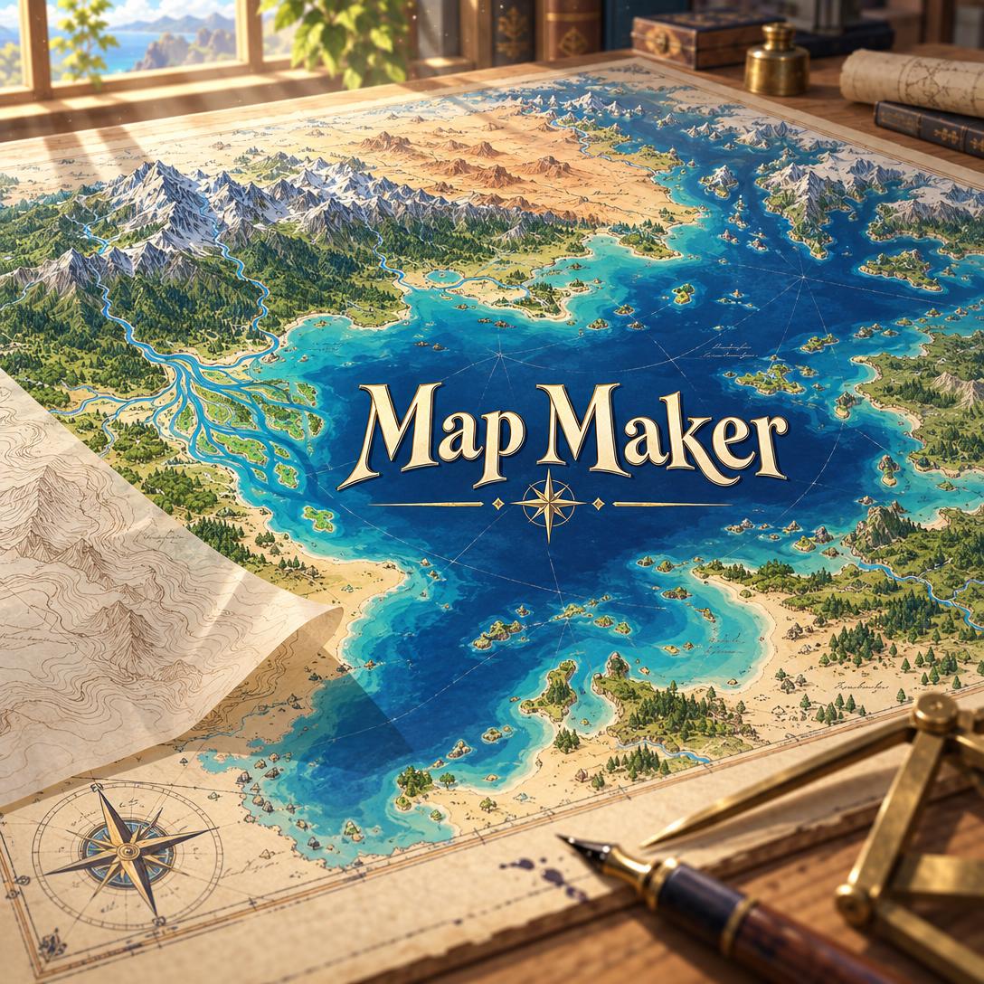
Jenova's Map Maker is strongest for the first approach. You describe a world map, city plan, dungeon, nautical chart, or transit diagram in plain language, and it produces a finished map that follows real geographic rules.
For manual, asset-by-asset control in 2026, the community standards are:
- Inkarnate: a free tier plus a $25-per-year Pro plan
- Wonderdraft and Dungeondraft: one-time purchases
- Azgaar's Fantasy Map Generator: free, with an atlas-style output
Key factors that separate effective map makers from generic image tools:
✅ Geographic logic by default. Rivers merge as they flow downstream, mountains form in belts, and settlements sit near water. Manual tools leave all of this to the user.
✅ Scale range. Some tools cover everything from continents to floor plans. Others specialize; Dungeondraft, for example, is favored for battle maps.
✅ Cost model. Experienced Dungeon Masters
to save money long-term.✅ Editability. Layered manual editing gives precise control. Prompt-based iteration is faster but less exact.
✅ Label accuracy. AI image generation renders short labels of one to four words reliably. Dense or lengthy text is still a weak point.
To compare these tools meaningfully, it helps to first establish what a good map actually needs to do.
Why Are Worldbuilders and Game Masters Turning to AI Map Makers in 2026?
Mostly because manual map software has a steep learning curve and no single program covers every map type. Hobbyists repeatedly ask which tool to start with, for example
who want good-looking maps without knowing where to begin.The fragmentation problem is well documented:
- On r/FantasyMaps, one user said they were and felt forced to learn several programs.
- On r/DMAcademy, a Dungeon Master explained they because their tool doesn't cover urban layouts well.
AI generation has also become faster. A 2025 PageOn.ai review describes NVIDIA's Edify building a detailed 3D desert landscape in minutes. That same review notes that AI tools depend heavily on input quality and can have learning curves of their own.
The shift is not universal. Communities such as the Facebook group "Artists Against Generative AI" actively seek non-AI map-making tools and painting techniques. For commercial work, illustrated book covers, or communities with strong anti-AI norms, manual tools remain the safer choice.
What Should You Look for in a Fantasy or Worldbuilding Map Maker?
Judge a map maker by how well it serves the map's purpose, audience, and scale, not by how impressive the output looks. Professional cartographic practice works the same way. The University Consortium for Geographic Information Science (UCGIS) GIS&T Body of Knowledge says a map's audience, purpose, deliverable format, and scale should guide every design decision before production starts.
This article uses six dimensions to evaluate each tool:
| Dimension | What It Measures | Why It Matters |
|---|---|---|
| Geographic plausibility | Whether terrain, water, and settlements follow physical logic | Plausibility is what makes readers believe in a world |
| Scale range | World → region → city → dungeon → floor plan | Avoids juggling multiple programs |
| Style range | Classic fantasy, portolan, antique, isometric, minimalist, pixel art | Matches the map to genre and tone |
| Control and editability | Layered manual editing vs. prompt-based iteration | Determines precision of the final output |
| Multi-map consistency | Same geography across maps at different scales | Critical for campaigns and novel series |
| Cost model | Free, subscription, or one-time purchase | Determines long-term cost |
The UCGIS guidance also recommends a specification sheet for multi-map projects. This is a record of colors, line weights, and typefaces that keeps an atlas-style project consistent. Any tool used for a multi-map world needs a similar mechanism, whether that is saved asset presets or a locked style direction.
How Does Jenova's Map Maker Compare to Inkarnate, Wonderdraft, Dungeondraft, and Azgaar?
The tools take different approaches:
- Jenova's Map Maker generates complete maps from a conversation.
- Inkarnate, Wonderdraft, and Dungeondraft are manual design tools that reward time spent placing assets.
- Azgaar's Fantasy Map Generator builds atlas-style worlds procedurally.
As of 2026, no single tool wins every dimension.
🗺️ Jenova's Map Maker
Map Maker works like a senior cartographer who is also a worldbuilder. It applies geographic rules by default: rivers start in highlands, mountains create rain shadows, and biomes change gradually. It covers ten map categories:
- World and regional maps
- City and town plans
- Dungeon and battle maps
- Nautical charts
- Historical maps
- Treasure maps
- Transit diagrams
- Sci-fi planetary maps
- Building floor plans
It also adjusts its explanations to your experience level. It uses plain language with newcomers and speaks as a peer with users who reference tools like Inkarnate or Wonderdraft.
Limitations:
- It produces flat images, not layered project files.
- Text longer than a few words often contains errors.
- Perfect grid alignment on battle maps is not guaranteed.
- It does not cover interactive web maps, GIS data processing, GPS navigation, or animated maps.
🎨 Inkarnate
Inkarnate is among the most-recommended free and paid options for quick fantasy maps. A $25-per-year Pro subscription adds extra assets. Worldbuilders describe its output as
.Limitation: at least one user found it
.🖌️ Wonderdraft
Wonderdraft is a common choice for
. Because it is sold as a one-time purchase rather than a subscription, it costs less over time. It also pairs well with image editors: one tutorial demonstrates combining Wonderdraft and Photoshop to create aged parchment handouts.Limitation: users report weaker city-map coverage.
⚔️ Dungeondraft
Dungeondraft is Wonderdraft's companion tool, focused on battle maps. It is also a
.Limitation: it is specialized for tactical maps, so continental worldbuilding needs a second program.
🌍 Azgaar's Fantasy Map Generator
Azgaar's Fantasy Map Generator is free and produces what users describe as an
. Its output is , which makes it useful as a base you can alter freely.Limitation: its look is narrower in style than illustrated, painterly fantasy maps.
📊 Side-by-Side Comparison
| Dimension | Inkarnate | Jenova's Map Maker | Wonderdraft | Dungeondraft | Azgaar |
|---|---|---|---|---|---|
| Creation method | Manual, asset-based | Conversational AI generation | Manual design | Manual design | Procedural generation |
| Primary scale | Fantasy world/regional | World → floor plan (10 map types) | World and regional | Battle maps | World/atlas |
| Geographic logic | Depends on user | Applied by default | Depends on user | Depends on user | Unverified |
| Style range | Fantasy RPG | Wide (classic to pixel art) | Fantasy; extendable with Photoshop | Tactical | Atlas-style |
| Editability | High | Prompt-based iteration | High | High | Unverified |
| Pricing (2026) | Free; Pro $25/yr | Free tier; Plus $20/mo | One-time purchase (price unverified) | One-time purchase (price unverified) | Free |
| Best For | Quick fantasy RPG maps | Fast, multi-scale worldbuilding | Detailed regional maps | VTT battle maps | Free atlas bases |
🎯 Which Tool Fits Which User?
- Novelists who need a frontispiece map without learning software should start with Map Maker. Pairing it with Jenova's Creative Fiction Writer keeps the story and the map aligned.
- Game Masters on a budget who want permanent ownership should choose Wonderdraft and Dungeondraft.
- Worldbuilders who want a free procedural base should start with Azgaar, then restyle the result.
- Game designers prototyping level layouts can combine Map Maker with Jenova's Game Designer Assistant.
What Geographic Rules Separate a Believable Fantasy Map From a Pretty Picture?
Believable maps follow real physical logic even when the world is fantastical. Water flows downhill, mountains form in tectonic belts, and settlements need water. Most amateur map errors break one of these rules, and they are the errors manual tools never catch for you.
Here are the most common mistakes and their fixes:
| Common Error | Why It Fails | Correct Approach |
|---|---|---|
| Rivers splitting inland | Rivers merge downstream; they only split at coastal deltas | Draw tributaries merging toward the sea |
| Desert next to rainforest | Biomes change gradually | Add transitional zones or a mountain barrier |
| Randomly scattered mountains | Tectonic forces create linear or arc-shaped ranges | Place ranges in belts |
| Rivers crossing mountain ranges | Water cannot flow uphill over a ridge | Rivers start in mountains and flow away |
| Lakes with multiple outflows | Water finds the single lowest exit | Zero or one outflow per lake |
| Roads straight over mountains | Roads follow the easiest path | Route roads through passes and valleys |
The rain shadow produces more believable variation than any other single rule. Mountains catch moisture on their windward side and leave the leeward side dry. One well-placed range explains a lush coast and an interior desert at the same time.
Settlements follow similar logic. Cities grow at river junctions, natural harbors, and mountain passes, and market towns sit roughly one day's travel apart. Map Maker applies these rules automatically and briefly explains its placement decisions. If your world deliberately breaks physics, for example with floating islands or rivers that run uphill by magic, it treats your rules as final.
Can an AI Map Maker Keep Multiple Maps of the Same World Consistent?
Yes, within limits. Map Maker locks your geography, style, and naming conventions early and carries them across maps at every scale. A city shown as a dot on the world map stays in the same position on the regional map, and a river flowing east regionally also flows east through the city.
Each scale shows a different level of detail:
- World maps show continents, major mountain ranges, and the largest rivers.
- Regional maps add settlements, roads, and borders.
- City maps show streets, walls, and districts.
- Dungeon and building maps show rooms and corridors.
In practice, the agent works in two modes:
- Exploration: it generates genuinely different variants as separate images.
- Refinement: it changes only what you ask for and preserves everything else. Asking for a new forest should not reshape a continent.
The honest trade-off: manual tools guarantee pixel-identical consistency because you control every layer. AI image generation can drift slightly between versions. That is why Map Maker generates each map as a separate image and references earlier maps directly. For long campaigns, Jenova's Roleplay Game Master can run adventures in the same world.
How Accurately Do AI Map Generators Render Labels and Place Names?
AI image generation reliably renders short, bold text of one to four words. Longer labels and dense place-name networks frequently contain spelling or placement errors. This is currently the biggest practical limitation of AI map making compared with manual tools.
Map Maker handles this in three ways:
- Short names first. It keeps generated labels brief and limits them to the most important places.
- Label-free versions. For maps that need many precise labels, it offers an unlabeled version you can finish in Canva, Figma, or a dedicated map tool.
- Retry with fewer labels. When generated text contains errors, it offers to regenerate with simpler labeling.
A hybrid workflow often works best: generate the terrain and composition with AI, then add typography manually. Manual cartographers already work this way. The Wonderdraft-plus-Photoshop tutorial shows that serious mapmakers routinely combine tools, and sellers offer dedicated Photoshop map-making brush kits for finishing work.
How Do You Get a Usable Map From an AI Map Maker on the First Try?
State the map type, the subject, and two or three key geographic relationships. Missing details are filled with plausible geography, so a short but specific request usually beats a long, vague one.
For Jenova's Map Maker:
- Open the agent at jenova.ai/a/map-maker.
- Describe the map type and its key features:
"A regional kingdom map: three cities along one river flowing south to a bay, a mountain range to the north, and a dry plateau east of the mountains."
- Name a style if you have one, or let the agent choose one based on genre and purpose:
"Weathered parchment, ink-drawn mountains, muted earth tones — a handout for my players."
- Review the result and ask for specific changes:
"Add a fortress at the mountain pass and move the capital to the river confluence."
- Try a different image generation model using the App button beneath the chat input. Some models handle linework and detail better than others.
The default format is 4:3 landscape. World maps typically use 3:2 or 16:9, and dungeon maps use 1:1. For maps of real places, such as medieval Constantinople or a topographic map of Iceland, the agent researches the actual geography before generating. You can also upload your own map for a critique that checks geographic plausibility first, then visual hierarchy, style coherence, and polish.
For a manual alternative, such as a Wonderdraft player handout:
- Build the base world or regional map in Wonderdraft.
- Export it and apply aging effects (stains, creases, faded ink) in Photoshop, as shown in the Digital Mapmaker's Academy tutorial.
The manual route takes longer but gives full control over every element.
What Do Map Design Experts Say About AI-Assisted Cartography?
Experts generally see AI map makers as most valuable for geographic reasoning and early drafts, with manual tools still better for final typography and precise editing.
"The biggest quality gap we see in user-made fantasy maps isn't artistic skill — it's hydrology. Rivers that fork inland, lakes with three outflows, and rivers that cut straight through mountain ranges show up again and again. Applying geographic rules automatically fixes most of what makes a map feel wrong, before style even enters the conversation."
"Text is the honest weak spot. Image models handle labels of one to four words reliably, and errors climb quickly beyond that. Our recommendation for anyone producing a published map is a hybrid workflow: generate the geography and composition, request a label-free version, and set the typography in a layout tool. That combines AI speed with manual precision."
"Revising an existing map is where most AI map tools go wrong. If you re-describe the whole map instead of describing the change, the model regenerates instead of editing. Saying 'add a forest east of the river and keep everything else' preserves the work you've already approved. That one habit matters more than any prompt vocabulary."
— Jenova Product Team, designers of the Map Maker agent
When Should You Use GIS Software Like QGIS or ArcGIS Instead of a Map Maker?
Use GIS software when you need to analyze real spatial data, produce survey-accurate maps, or build interactive maps. Illustrative and worldbuilding map makers, including Jenova's Map Maker, are not designed for data-driven cartography.
The two main GIS options are:
- QGIS is free and open source. A 2024 DEV Community overview describes QGIS 3 as the only open-source GIS software that can compete with ArcGIS Pro.
- ArcGIS is a cloud-based mapping platform for data analysis that lets users customize maps and view real-time data, per SaaSHub's August 2026 listing.
For business location analysis, platforms such as Mapbox and CARTO appear in 2026 roundups of location intelligence software.
Some hobby worldbuilders cross over and
. This approach is powerful but has a much steeper learning curve.A simple rule of thumb:
- If the map's purpose is telling a story or setting a scene, use a fantasy or AI map maker.
- If its purpose is measuring, analyzing, or navigating the real world, use GIS.
References
- Facebook Group Discussion — Dungeondraft for battle maps; Wonderdraft and Dungeondraft are paid tools
- PageOn.ai — Best AI Tools for Generating 3D Maps, including NVIDIA Edify and tool limitations
- Facebook Group "Artists Against Generative AI" — Request for non-AI map-making tools
- UCGIS GIS&T Body of Knowledge — Map Production and Management (Buckingham, 2019)
- Facebook — Inkarnate recommended for quick fantasy maps; $25/yr Pro subscription
- YouTube, Digital Mapmaker's Academy — Weathered map handout using Wonderdraft and Photoshop
- Etsy — Fantasy Map Maker Kit Photoshop brushes
- DEV Community — 5 Free GIS Software Options, QGIS 3 vs. ArcGIS Pro
- SaaSHub — Best Mapping and GIS Products in 2026, ArcGIS overview
- Krowdbase — Best AI-Powered Location Intelligence Software for 2026